Rouge Park Wayfinding & Branding Strategy
Summer 2021
The Huron-Clinton Metropolitan Authority, a regional park system created in 1940 by the citizens of Southeast Michigan, provides recreational and educational opportunities while serving as stewards of its natural resources. Currently, 13 Metroparks cover almost 25,000 acres and serve over 7.3 million visitors on average annually. The Metroparks are located along the Huron and Clinton rivers, providing a greenbelt around the Detroit metropolitan area.
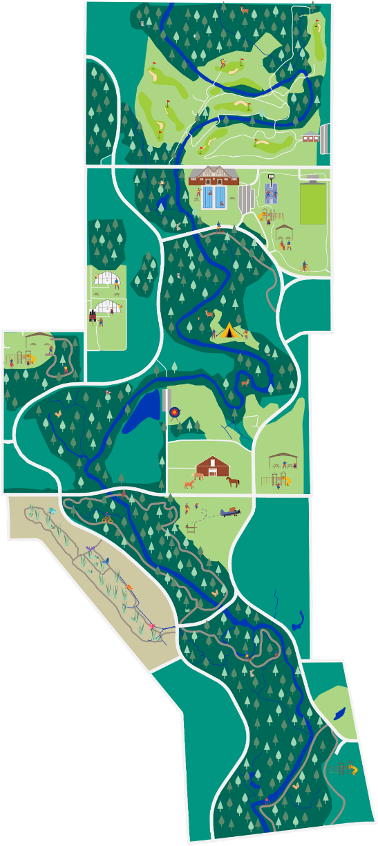
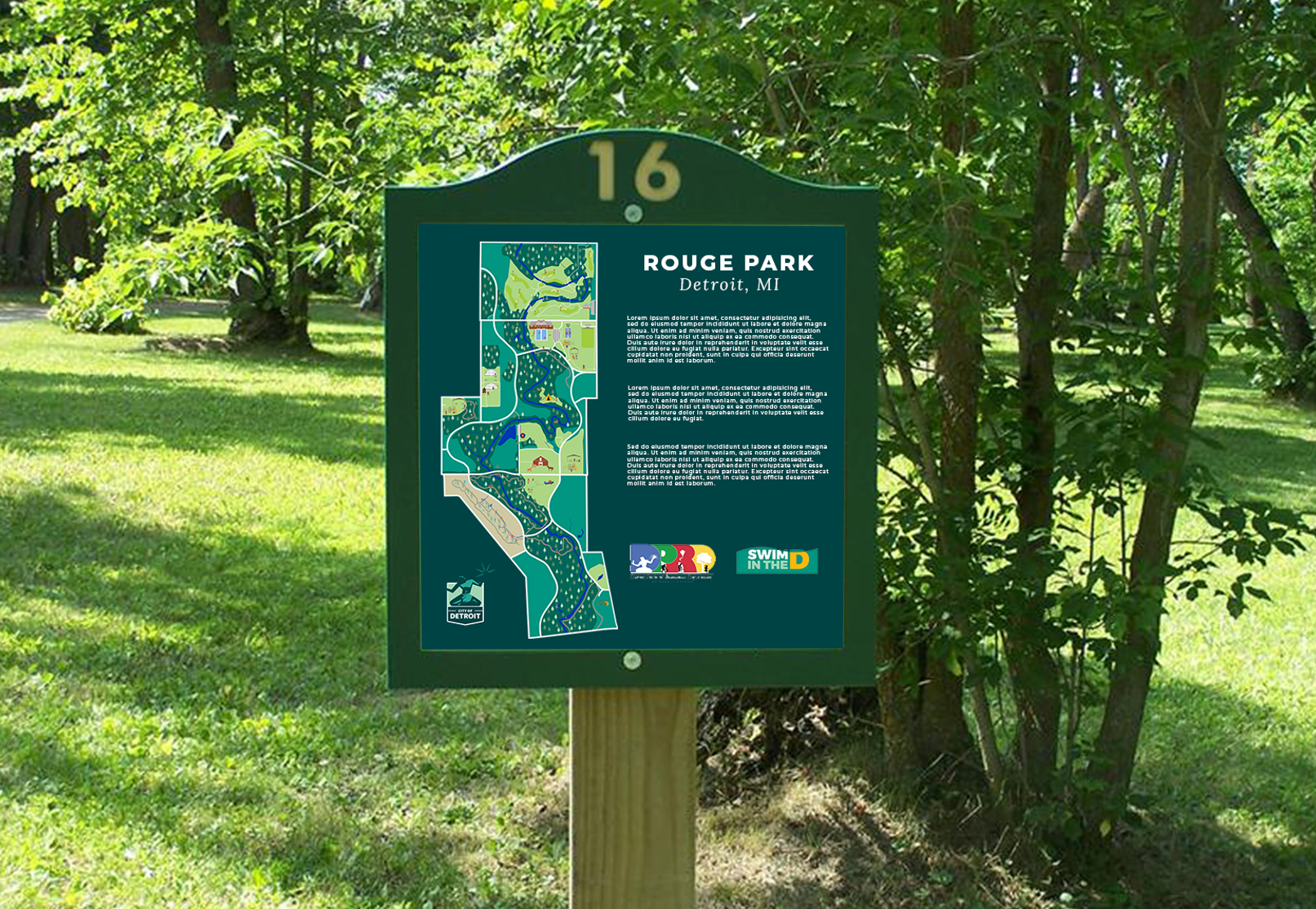
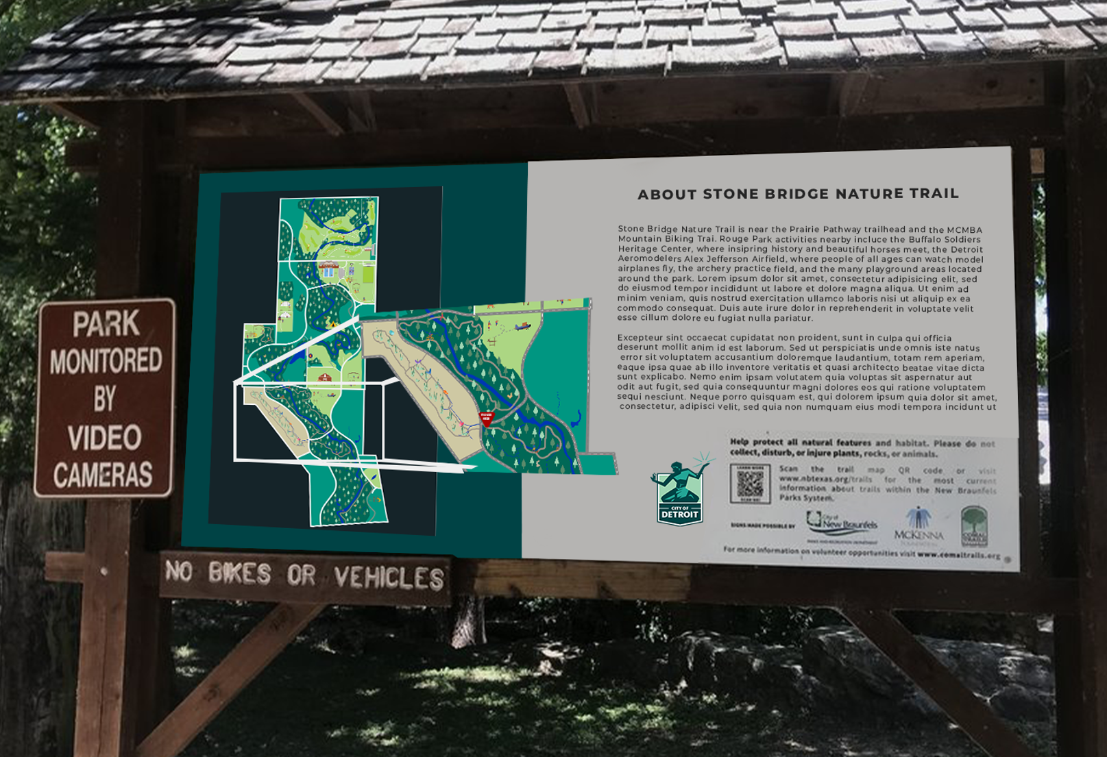
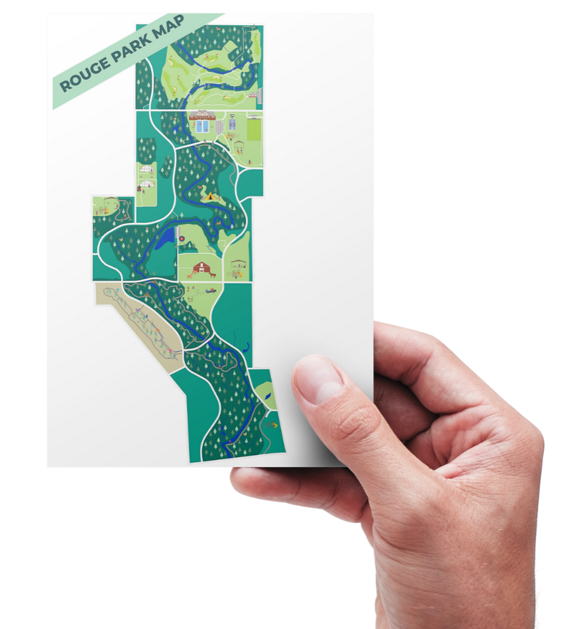
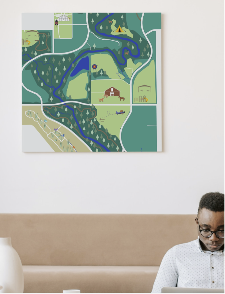
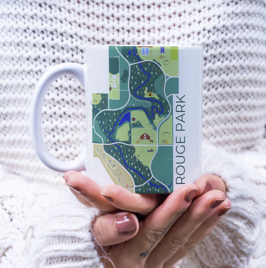
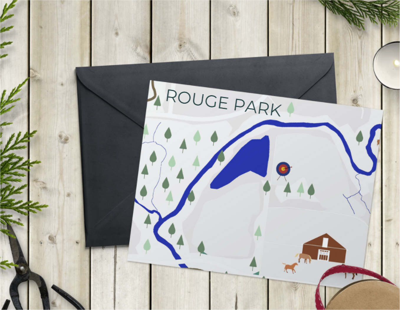
Rouge Park in the City of Detroit is Michigan’s largest urban park at 1,184 acres. Beginning in 2019, the Huron-Clinton Metroparks entered into a multi-year partnership with the City of Detroit Parks and Recreation Department to provide support for Rouge Park in key areas such as Natural Areas Management, Volunteer Services, Grant Writing, Programming, Planning, and Marketing/Communications in coordination with the Friends of Rouge Park.
The City and the Friends of Rouge Park are working toward the implementation of the existing Rouge Park master plan, and the group has identified that the greatest need is for an outreach and wayfinding plan to (1) communicate about the existing park amenities to attract more visitors, and (2) make getting around the park more intuitive. The Metroparks have recently developed a wayfinding signage plan for the Prairie Pathway as a template for future wayfinding efforts.
Our team developed a wayfinding plan and branding strategy for Rouge Park.
Community Partners
Huron Clinton Metroparks
Student Team
Huiting Du
Lei Guo
Aracely Landero
McKenna Sabon
Tian Xin
Sarai Zelada
Faculty Mentor
Anya Sirota
To view our full project presentation, visit this link.
For more information about Huron Clinton Metroparks, visit this link.